Accessible Stroll 1 Trehafren Fields & Park Lane
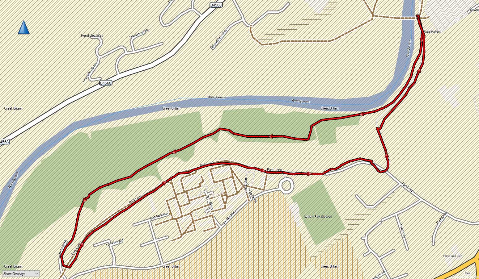
Approached from Back Lane car park, the walk starts and ends at the Dolerw Park pedestrian bridge. It is mainly a flat, accessible walk on a paved path with a small upward slope about midway.
1.4 miles • 30 minutes • Easy
 Download KML
 Download Walk
Images
Directions
1
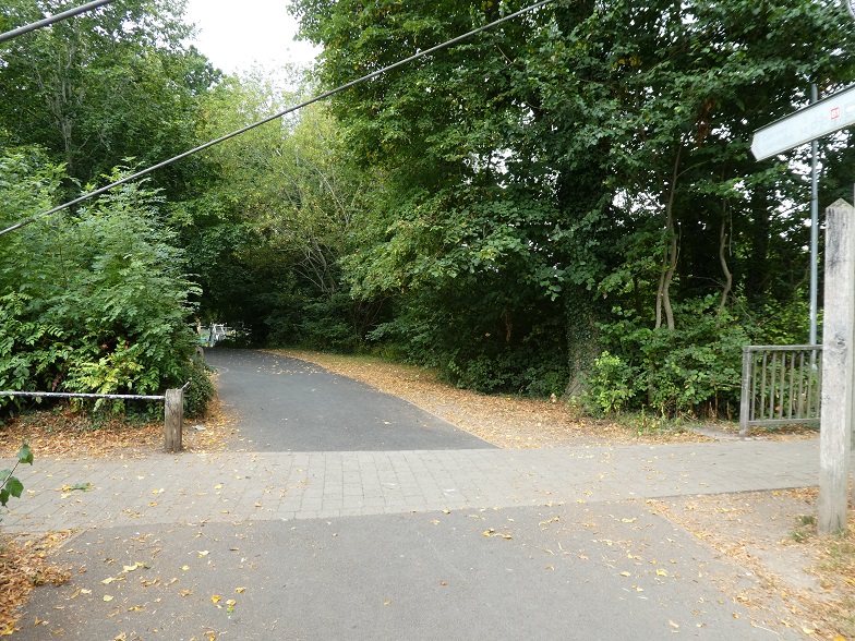
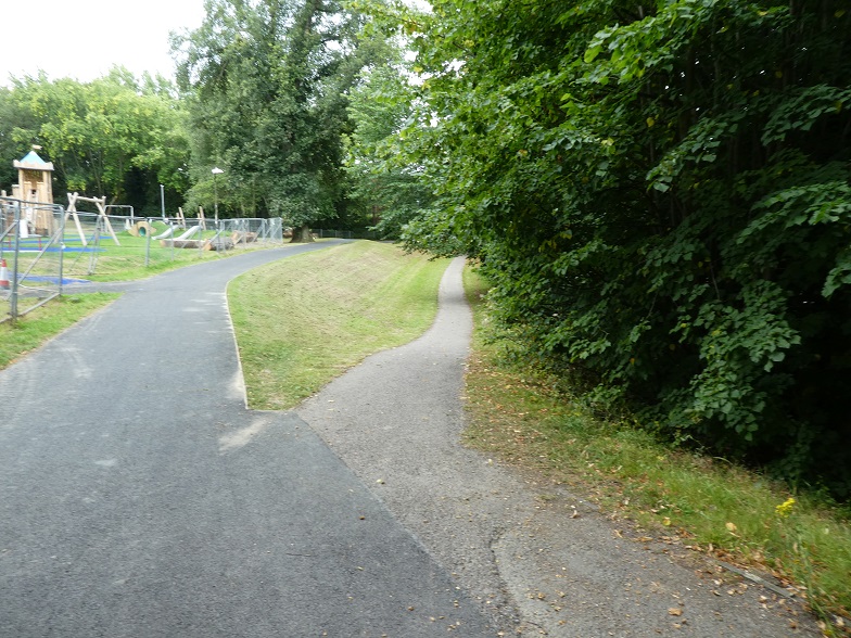
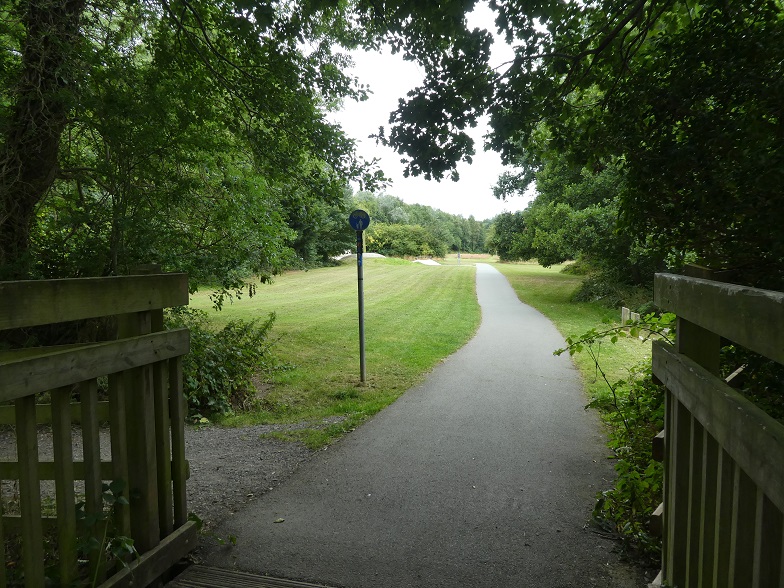
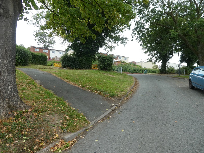
Facing the bridge take the path on the left and after a few metres take the right hand fork closest to the river. Follow the path across the bridge over the brook and past a skate-park on your left. The path curves around, with the hedge and tree line on your left and playing fields on your right. The first set of playing fields ends at a line of trees at right angle to the fields. The path continues past the second set of playing fields which ends at a similar line of trees. Shortly into the third set of fields take the paved path sloping up to the left.
2
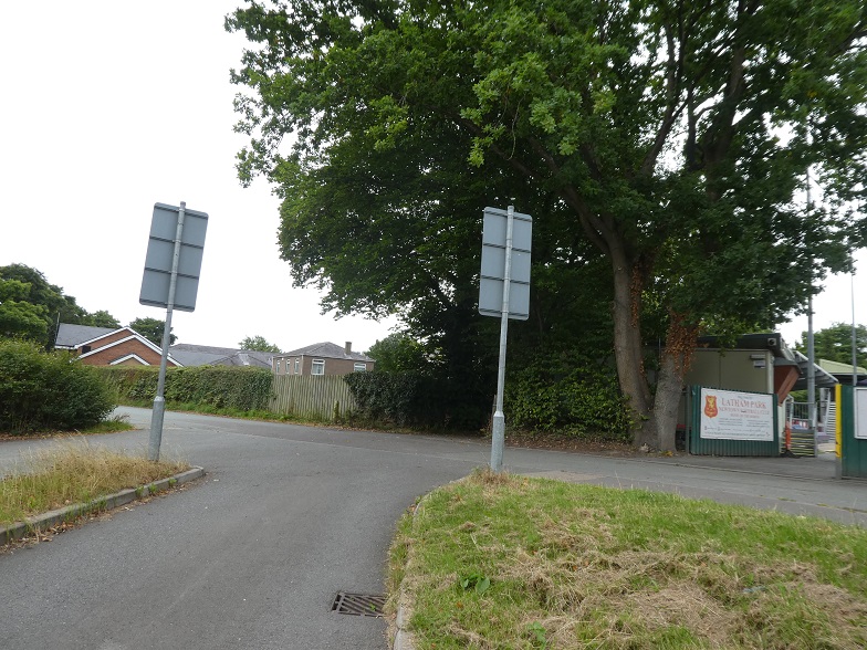
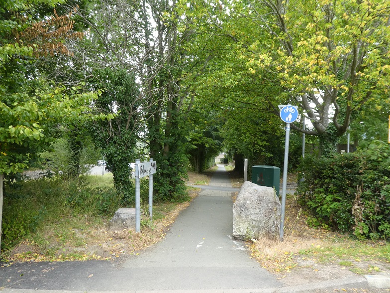
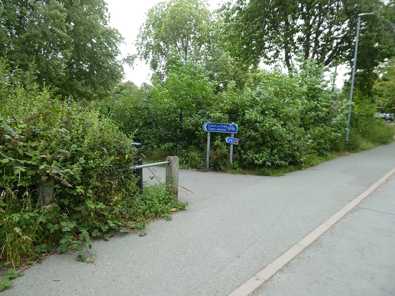
Cross a car park at the top, then keep left beside the curb and look for a narrow, paved path on your left. Follow it up the short slope. At the top of the slope turn left. This is Park Lane. There are houses on your right and a hedge line on your left (do not take any small paths leading off to the right). Continue on this paved footpath to the end of the Trehafren housing estate, and continue along Park Lane in the same direction passing Newtown Football club on your right and further along a large, two tone brick building on your right, this is the back of the Police Station. Shortly after the path curves to the right take a left turn at a sign saying Town Centre and another one signing the 81 cycle path. The school playing fields are behind the fence to your right and you pass the Scout hut on your left. Follow the school fence line back to the riverside path and you will arrive back at Dolerw Park pedestrian bridge.
More Walks